Point Loma makes San Diego’s geography unusually clear. The long peninsula forms the western side of the entrance to San Diego Bay, with the Pacific on its outer edge and the bay on its inner side. From the ridge and its surrounding coast, a traveler can understand harbor, ocean, military history, coastal habitat, and city in one connected landscape.
That clarity does not make the day simple to schedule. Cabrillo National Monument sits at the southern end of the peninsula, and its upper historic area, trails, coastal overlooks, and rocky intertidal zone are distinct experiences. Ocean Beach, Liberty Station, Shelter Island, and the residential areas of Point Loma add further choices. A coherent plan selects one protected-landscape anchor and one neighborhood-scale conclusion.

City Cruises San Diego: Scenic 90-Minute Narrated Harbor Tour
Discover the best of San Diego Bay on our expertly narrated harbor tour. Spanning over 13 miles, this journey takes you past iconic landmarks such as...

San Diego Harbor Cruise
Take a 1- or 2-hour relaxing harbor cruise through the bay of San Diego, featuring unforgettable views of San Diego's skyline. This fully narrated tou...
Start with the peninsula, not a checklist
Cabrillo National Monument preserves several overlapping stories, including Indigenous presence, European exploration, maritime navigation, military defense, and coastal ecology. The Old Point Loma Lighthouse helps explain nineteenth-century navigation, while views from the upper area reveal the peninsula’s strategic relationship to the bay and ocean. The natural landscape includes coastal sage scrub, cliff and shore environments, and seasonal changes that may be less obvious in postcard photography.
Choose the central question before choosing the route. Do you want the broad geographic view, a closer look at maritime history, a substantial trail, or coastal observation when conditions allow? Each choice asks for different time, footwear, mobility, and weather planning. Confirm current alerts and access on the National Park Service website before departure.
| Primary interest | Anchor | Useful second layer | Check first |
|---|---|---|---|
| Geography and history | Upper monument area and lighthouse context | A focused harbor-edge or neighborhood walk | Access notices, visibility, and transport |
| Walking and habitat | One official trail suited to the group | A quiet meal or short shore stop | Weather, trail status, grade, and water needs |
| Rocky coast | Approved coastal viewing area | Ocean Beach or another peninsula stop | Tides, surf, closures, footing, and official guidance |
Treat the tidepools as a conditional experience
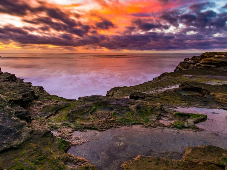
The rocky intertidal area is shaped by tides, waves, weather, and capacity controls. A predicted low tide does not guarantee safe or permitted access, and an old article cannot establish current conditions. Consult the monument’s official information and tide guidance close to the visit. If the coastal road, parking area, or intertidal zone is unavailable, do not improvise a route around a closure.
Uneven and wet rock requires attention even when the sea looks calm. Observe organisms without collecting, touching, prying, or moving rocks. Keep a safe distance from cliff edges and incoming water. Families should plan for close supervision, and anyone with limited balance or mobility should evaluate whether an upper overlook provides the better experience.
Prepare before descending
- Check the official tide prediction, weather, surf, closures, and visitor alerts.
- Wear footwear suited to uneven, potentially slippery surfaces.
- Carry water and any essential information needed without a reliable connection.
- Arrange a precise pickup or meeting place before leaving stronger mobile coverage.
- Turn back when footing, waves, visibility, or group energy becomes uncertain.
A successful day does not require entering the intertidal zone. Coastal plants, bluff form, ocean weather, and the relationship between upper and lower terrain remain meaningful from approved routes and viewpoints.
Read both horizons
Point Loma’s defining perspective comes from two different bodies of water. The Pacific side feels exposed, with long swell, bluff edges, and open weather. The bay side is more protected and reveals a working harbor, naval presence, marinas, and the city beyond. Looking at both prevents the peninsula from becoming just another beach stop.
Pacific side
On the outer coast, pay attention to marine-layer light, coastal scrub, rock form, and how the ridge meets the ocean. Ocean Beach can provide a lower-rise neighborhood chapter after the protected landscape. Select a meal, a compact commercial stretch, or a short shore walk rather than repeating an entire beach day.

San Diego Harbor Speed Boat Adventure
Rev up your excitement with a one-of-a-kind San Diego Speed Boat Adventure! Captain your own speed boat on a guided...

San Diego Whale/Dolphin Watching Cruise Aboard Luxury Vessel
Venture into the vibrant waters of San Diego with us, the premier destination for unforgettable whale and dolphin en...

2-Hour San Diego Pier Fishing Experience
Enjoy a two-hour guided tour of San Diego catch or release fishing from the Pacific Ocean. Our guides are friendly...
Bay side
On the inner side, harbor edges and maritime infrastructure reveal another San Diego. Shelter Island and nearby waterfront areas may offer views across working and recreational water, while Liberty Station can provide public space, food, and adaptive reuse. Choose one bay-side chapter and verify the exact access and transport plan before going.
It is usually more satisfying to pair the monument with either Ocean Beach or a bay-side destination, not both. The peninsula has limited north-south routes, so an itinerary that repeatedly crosses it can consume the time intended for walking and observation.
Account for military and working landscapes
Point Loma is not an empty scenic ridge. Military facilities, harbor operations, residences, institutions, and protected lands share the peninsula. Follow signs, remain on public routes, and do not photograph restricted areas. Traffic conditions and access can reflect these active uses, so leave margin in the day instead of treating travel time as fixed.
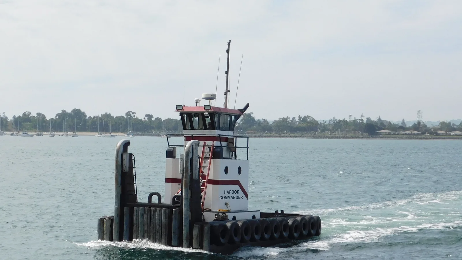
The working context also enriches the view. Ships, channel markers, harbor entrances, piers, and distant city forms help explain why this land matters. They are not distractions from a natural coast. They show how ocean, bay, and urban life meet.
Build a practical finish
- Choose one monument experience that fits conditions and ability.
- Pause before adding a second location, especially after a trail or coastal descent.
- Select Ocean Beach, Liberty Station, or a focused bay edge based on the desired contrast.
- Confirm the evening route before the final stop.
- Remove an optional stop if the landscape takes longer than expected.

San Diego Bay Jet Boat Ride
A boat ride on San Diego Bay is lovely, but an exhilarating ride on a dual-engine jet boat is an experience to remem...

San Diego Seal Tour
Hop aboard San Diego’s only amphibious Sea and Land Adventure for an unforgettable 1 hour and 45 minute tour that...

USS Midway Museum Admission: Valid Any Date
Experience life at sea without leaving port by visiting the USS Midway Museum, San Diego's number 1 rated visitor at...
City Cruises San Diego: Scenic 90-Minute Narrated Harbor Tour
Discover the best of San Diego Bay on our expertly narrated harbor tour. Spanning over 13 miles, this journey takes you past iconic landmarks such as...

San Diego: 3 Hour Whale Watch Cruise with Legacy Whale Watch
You’ll experience one of the best San Diego whale watching tours aboard the spacious 80-foot Legacy, departing fro...
San Diego Harbor Cruise
Take a 1- or 2-hour relaxing harbor cruise through the bay of San Diego, featuring unforgettable views of San Diego'...

San Diego Zoo 1-Day Pass: Any Day Ticket
The San Diego Zoo is a 100-acre wildlife park and home to over 12,000 rare and endangered animals, representing more...
For more terrain-led planning, read How to Plan a San Diego Day Around Coast, Canyons, and Neighborhoods or browse Coast & Nature. The broader Guides collection can help connect Point Loma with the rest of the trip without compressing it into an overfilled day.
Still comparing Point Loma Peninsula Coastal Day?
Ask for tour ideas, hotel suggestions, or a simple trip plan that combines both.